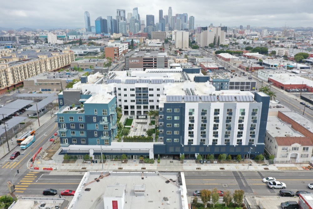
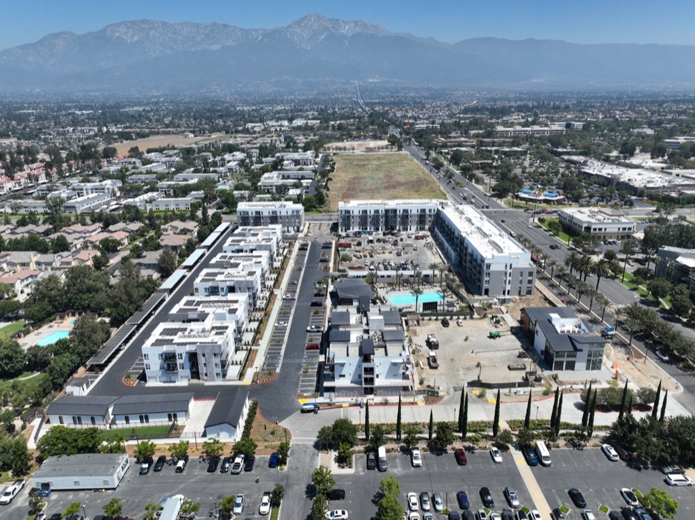
Mixed Use
Apartment and retail context from the air, built for leasing, investor updates, and project marketing.
Our Work
Apartment and retail context from the air, built for leasing, investor updates, and project marketing.
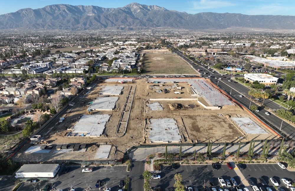
Large-site housing progress documented for stakeholders, public agencies, builders, and ownership teams.
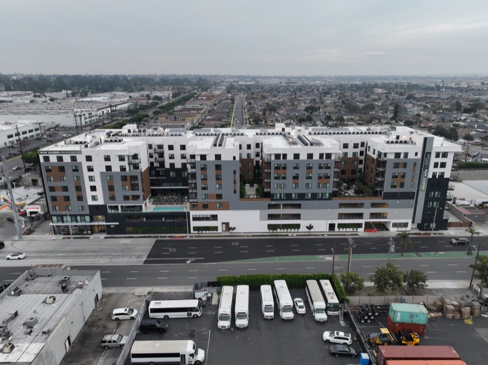
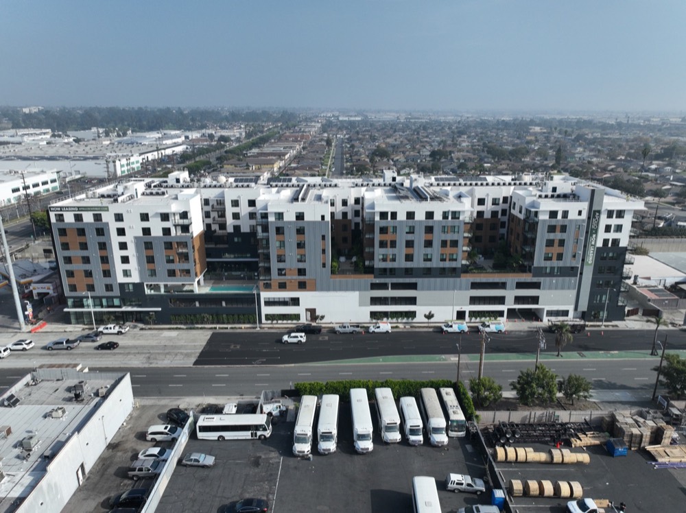
Finished and in-progress multifamily assets captured for marketing, reporting, and portfolio visibility.
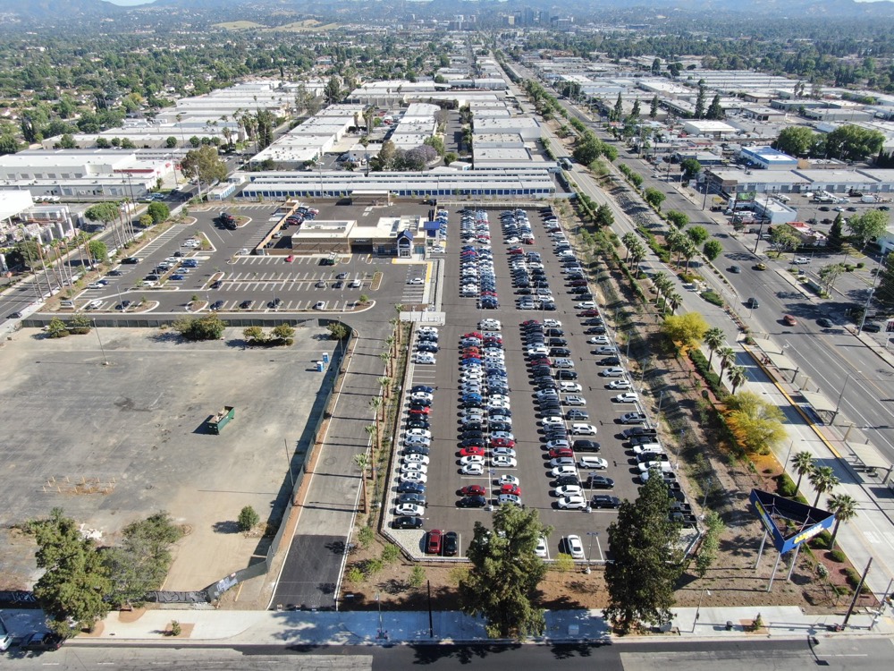
Commercial sites, dealerships, hospitality, and retail properties shown with surrounding access and scale.
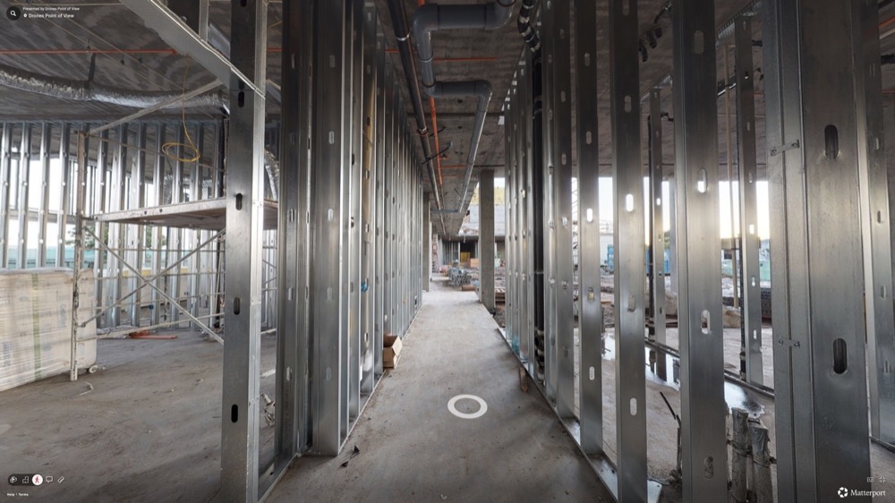
Before, during, and after documentation for renovation teams that need proof of progress over time.
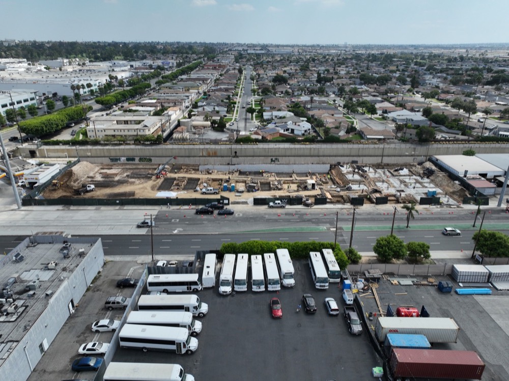
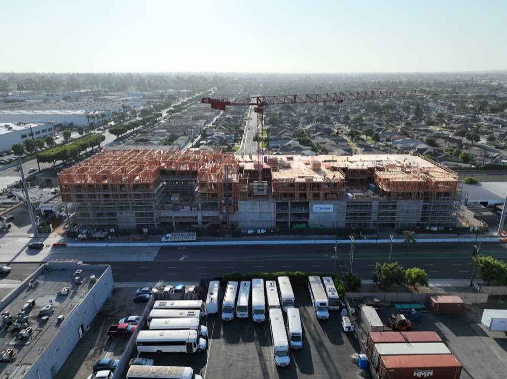
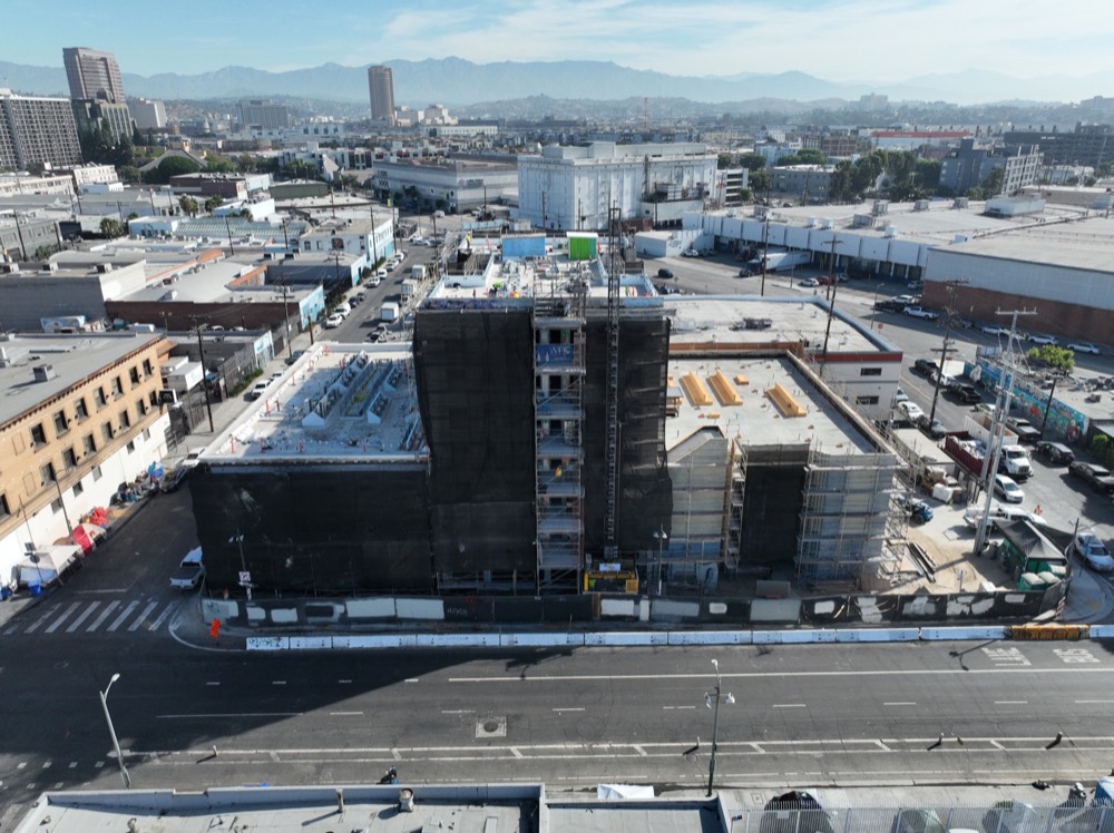
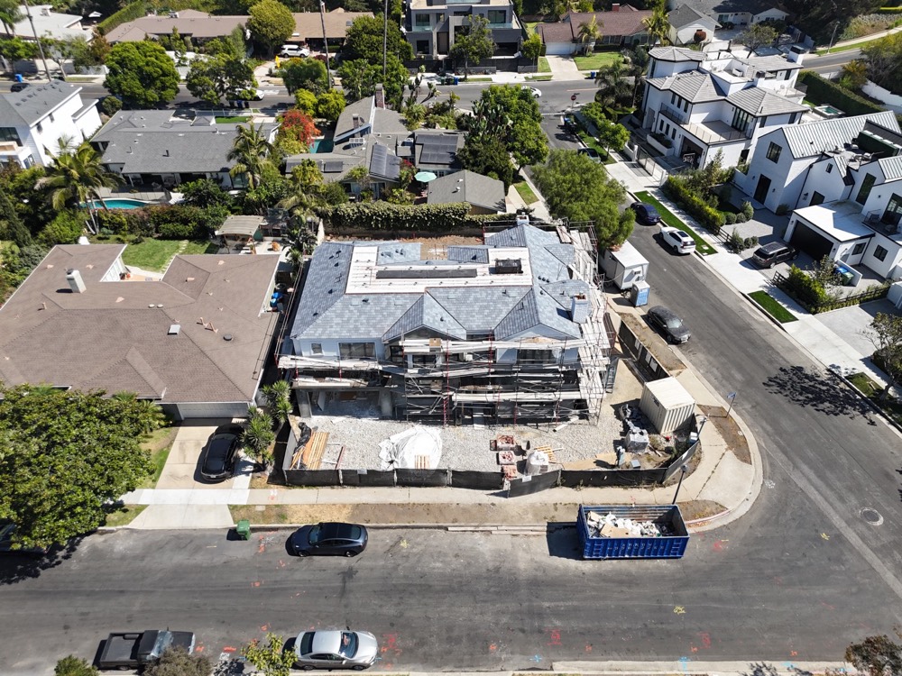
Ground-up construction documented from early site work through vertical progress and completion.
A separate ground-up project tracked across multiple visits, ending with finished exterior marketing views.
Residential aerial photography for listings, remodels, neighborhood context, and property presentations.
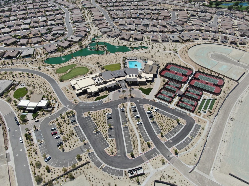
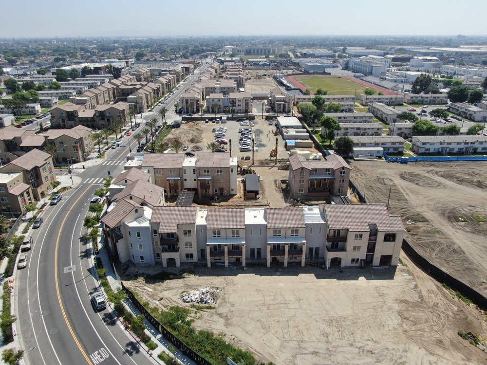
Wide-area coverage for master-planned communities, senior living, campus-style housing, and phased delivery.
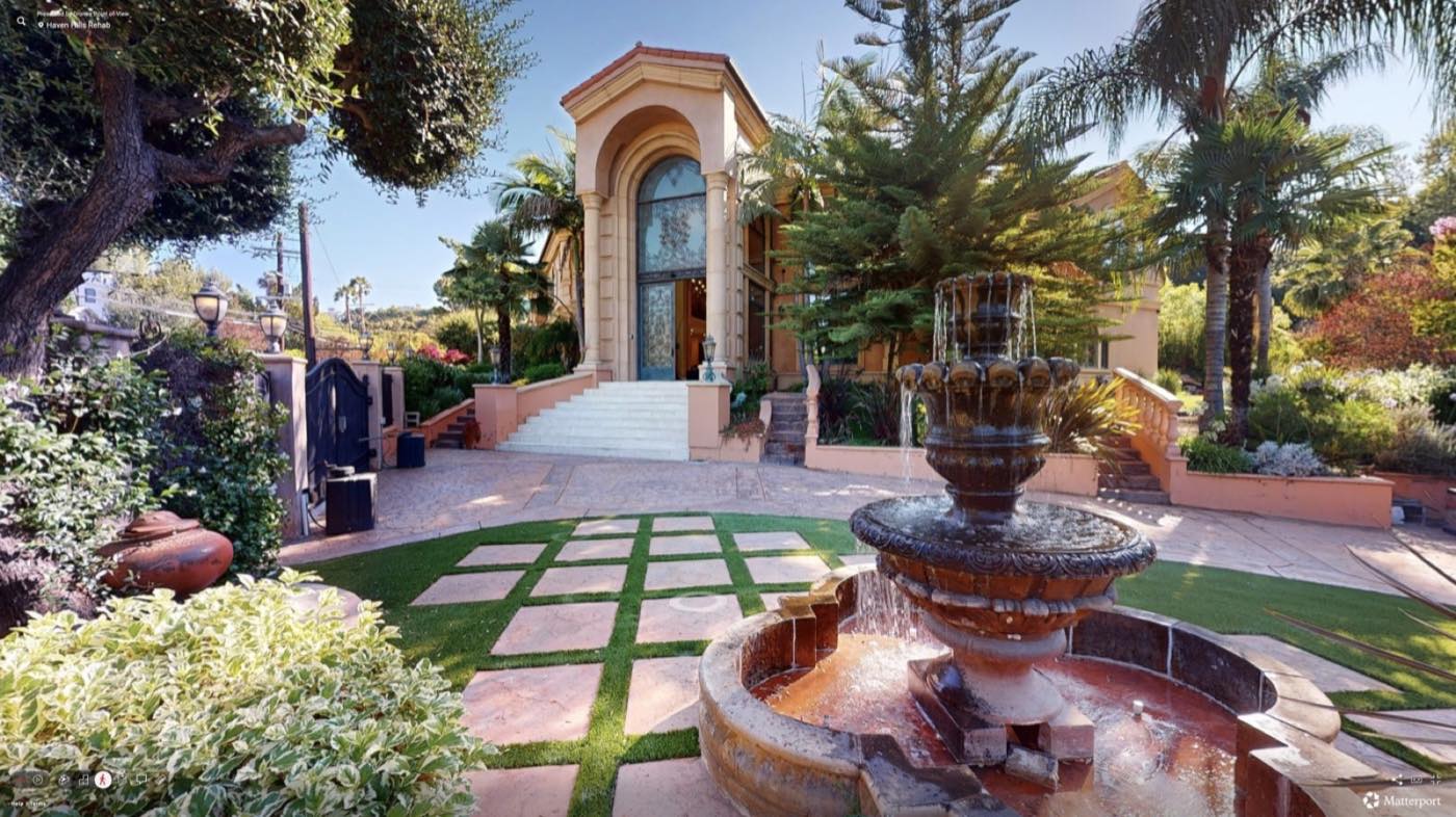
Photo Tour Examples
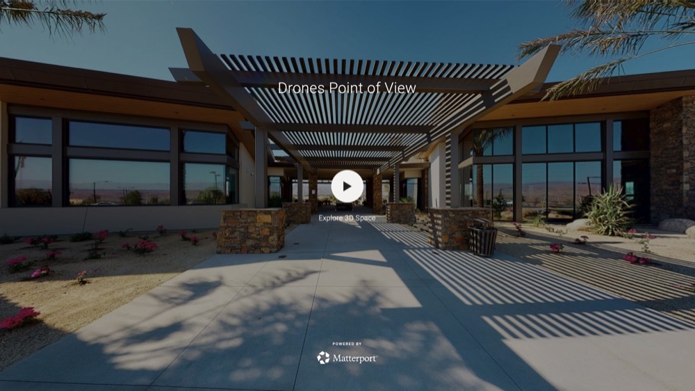
Matterport Overview
 Interior Photo Tour
 Walkthrough Experience
Pricing
Construction drone services, aerial photography, handheld media, 360 photos, 360 video, mapping photos, and Matterport-ready virtual tours for developers, construction companies, surveyors, solar companies, apartments, housing communities, new builds, rehabs, homes, commercial properties, hotels, and controlled-airspace projects across Los Angeles and Southern California.
Our Experience
Use Cases
Track, monitor, and document job-site progress
Deliver scheduled progress updates weekly, bi-weekly, or monthly
Keep team members and stakeholders in the loop
Identify and address job-site challenges
Market completed communities, commercial sites, and project milestones on your company website
Who We Support
Scheduled drone progress photos, aerial video, job-site documentation, and marketing assets for active construction sites.
Apartment, mixed-use, affordable housing, market-rate, commercial, hotel, and large community visuals from planning through completion.
Drone service provider support for mapping photos, site context, access documentation, and controlled-airspace coordination.
Aerial photography, roof and site context, project documentation, and 360 media for solar planning, installs, and customer updates.
Inquiry